
Map making and cartography
Clear, decision-ready mapping for operational planning, grant applications and regulatory compliance — with or without a new survey.
Professional mapping remains essential for operational planning, grant applications and regulatory compliance. For many operators, accurate and clearly presented maps are the whole requirement.
We produce and digitise maps for forestry and land management as a service in its own right, for agents, consultancies and companies who would rather the mapping was done for them. It also runs alongside survey work and immersive video where both are wanted.
Maps for the field as well as the office.
Every output is clear, practical and built to be used in the back of a pickup as readily as on a desk. Where required, mapping integrates with existing GIS systems, or arrives in accessible formats that are straightforward to share.
The unifying principle is the same throughout: clear, decision-ready spatial information, whether drawn from new imagery or from data you already hold.
- Updating legacy compartment maps
- Digitising existing and historic plans
- Felling and restocking maps
- Fencing estimates and specifications
- Access and extraction planning
- Hazard and constraints mapping
- Structured plan outputs for operational use
- Grant and scheme application mapping
If you already hold the records
We take existing records, legacy maps and historic data and turn them into accurate, usable formats: digitised, updated, restructured. For some managers this is the best initial route, and we will maximise the value of your existing records before advising on future action.
When a scan has already been flown
Where a scan has been flown, cartography turns the raw data into outputs your team can act on: feature extraction, area measurement and analysis, and annotated maps for planning and communication.
Desk-based sheets
These were drawn from existing records and open data alone. Select any sheet to open it at full size.
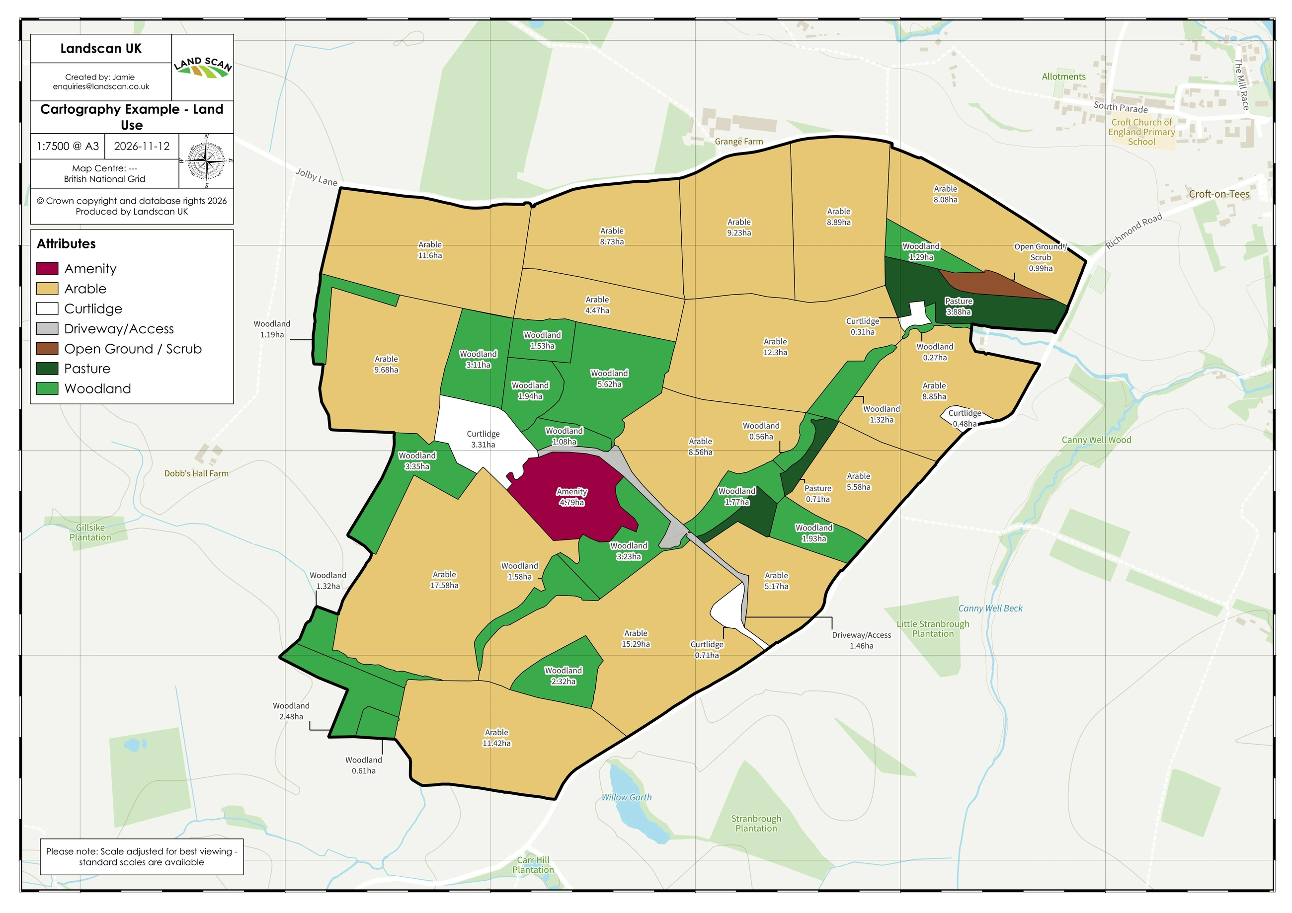
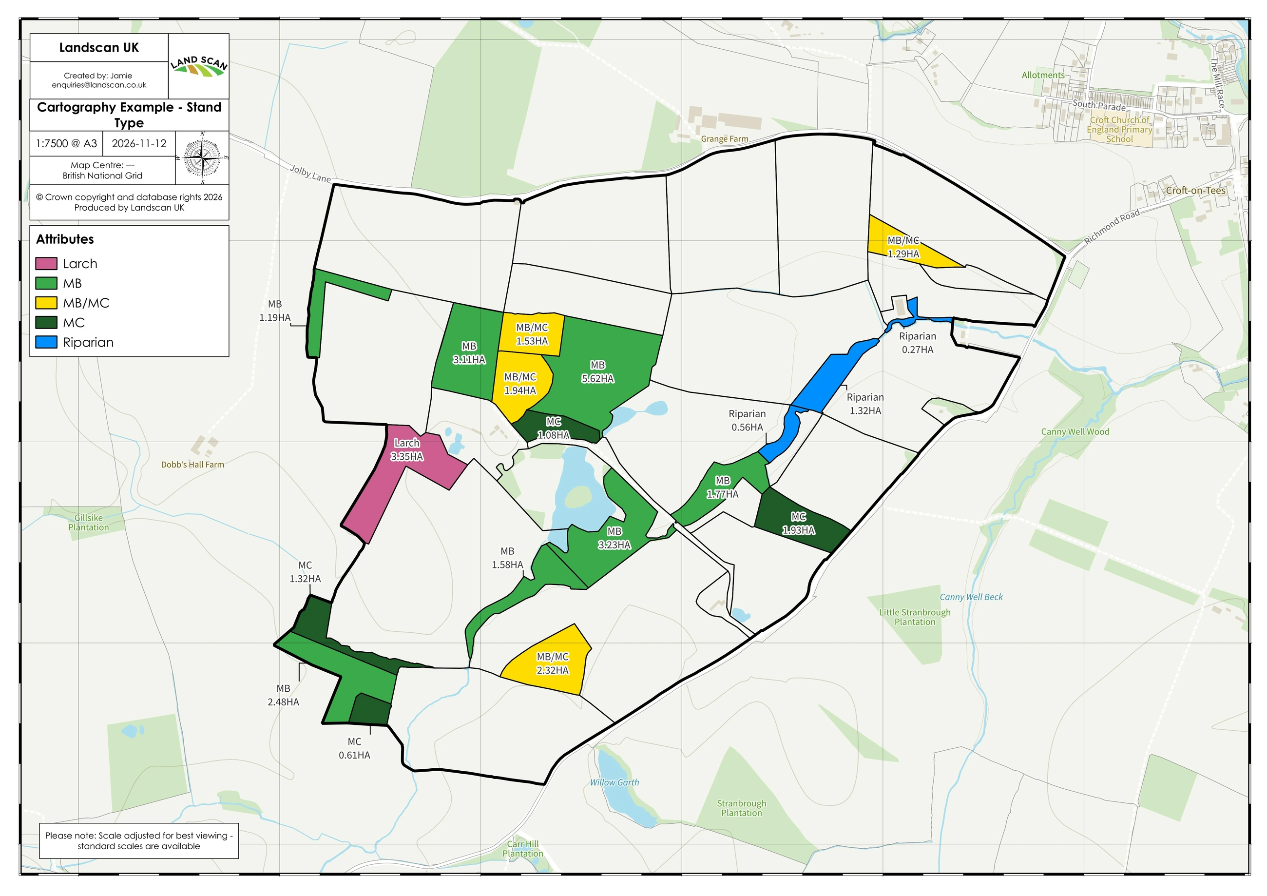
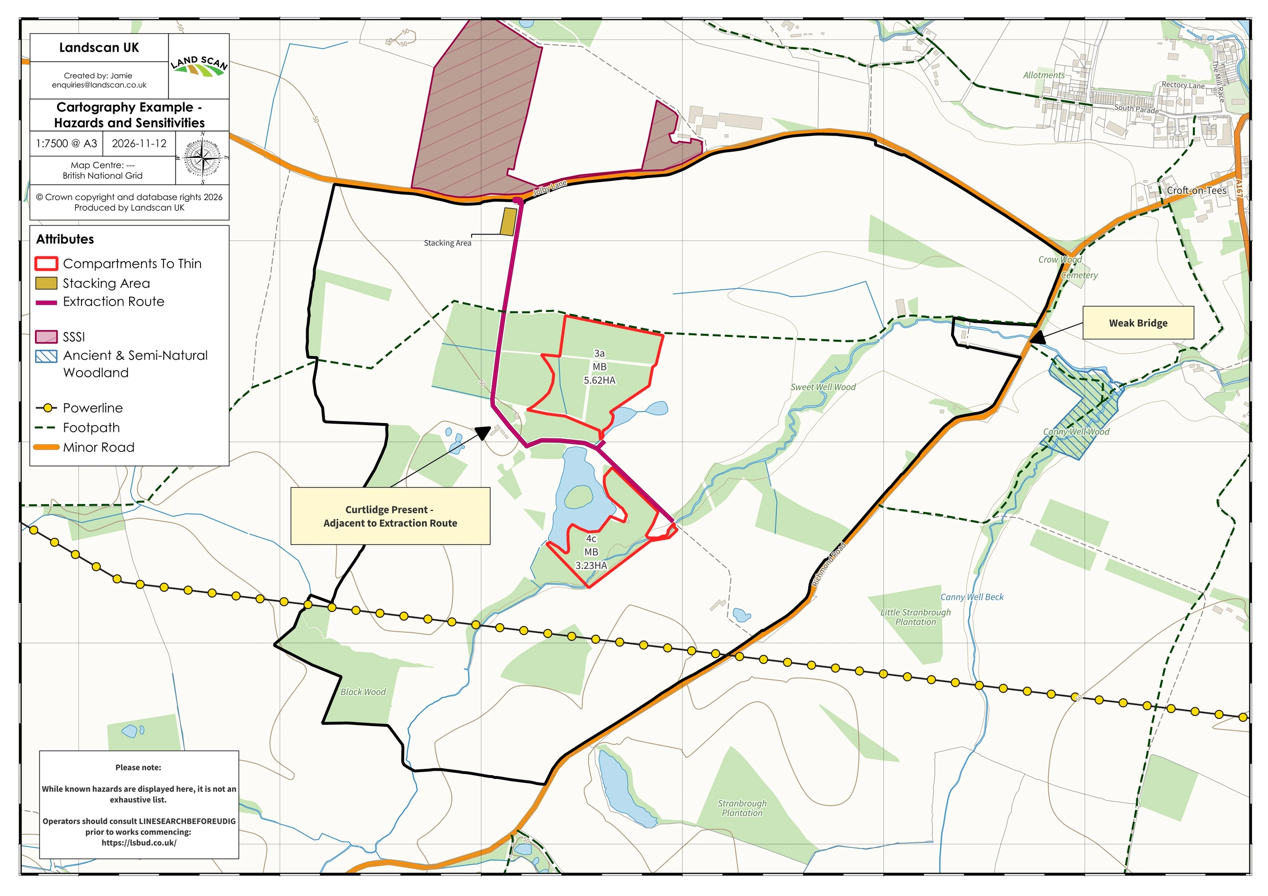
The boundaries and attributes shown are illustrative, prepared to demonstrate cartographic style and output quality rather than to record a working holding.
Ready to get your mapping in order?
Many projects need accurate, well-presented maps without a full drone survey. If that describes your situation, we are happy to talk it through and quote accordingly.