
Irregular Silviculture in the Lowlands: an attendee review
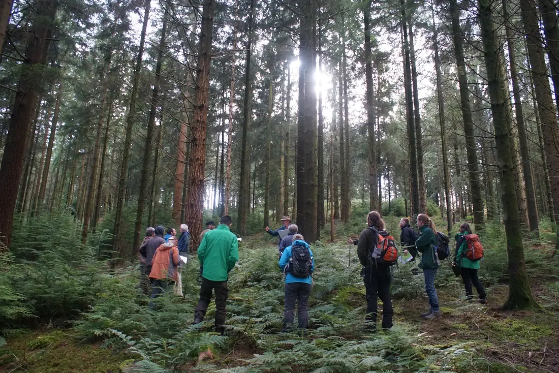
If the development of machines, synthetic materials and computer code over the last century can be thought of as major advancements in grey technology, Andy and David’s model of applied irregular silviculture is a watershed moment in green technology. The approach combines peer reviewed research, data science and statistical modelling with in-person assessment of a forest environment’s behaviour and traits.
My name is Jamie Brookes. I use drones to build maps and 3D models of natural environments for forest data collection and aesthetic purposes. My history and education are in the grey technology world, yet you are far more likely to meet me in wellingtons than your traditional office-appropriate shoe.
Coming into the course I had been nursing several questions. The questions were:
- What does a good quality irregular silviculture environment look like in practice?
- How do you extract timber in this irregular environment?
- What are the economic impacts, and can irregular forests retain their commercial viability?
I did not leave disappointed. Each of these topics were explained in detail using data from the sites we would visit later in the day. I found this format helped to contextualise and anchor the learning to tangible, real scenarios.
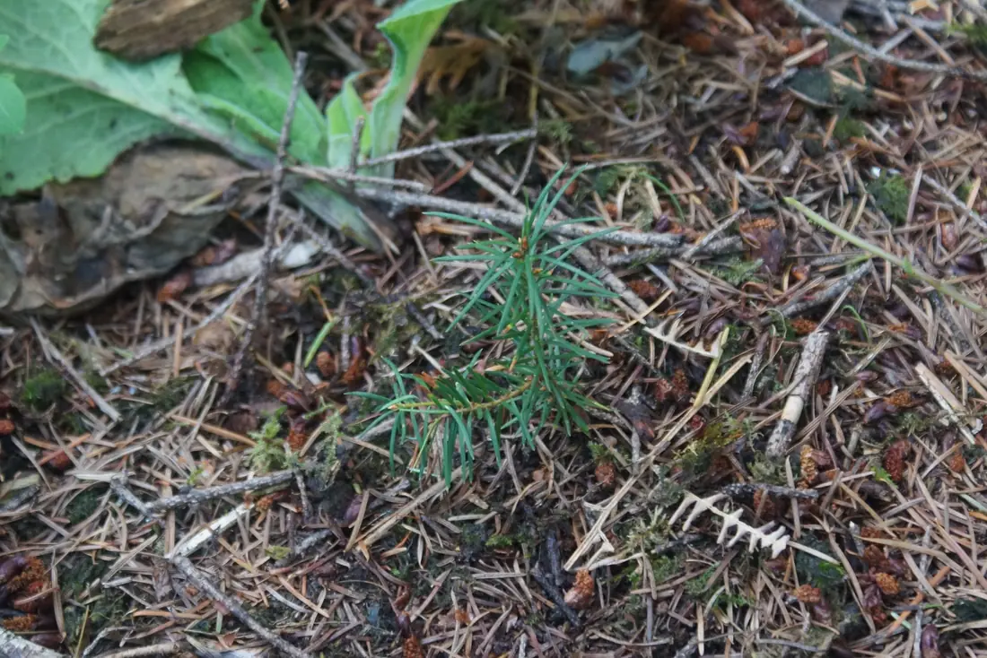
Part of the contextualisation involved a marking exercise. We split into pairs and were tasked with selecting trees for a planned thinning of the stand. We were given a map, explanatory notes and grading criteria from which to base our decisions. My thanks go to Dr Lucie Jerabkova, a fine partner from whom I learned heavily.
This marking exercise was recorded and graded, with a good-natured prize for the winners. The comparative analysis of our decisions – coupled with some innovative metrics – ensures that you understand exactly how you did, and how you might adjust going forward.
What have I learned? I’ve come away from the course with a holistic, packaged understanding of the intentions of irregular silviculture. I’ve come away with many new avenues of exploration into this new world of forest science. I’ve come away with a revolution in the way I understand the forest around me, and the roles of each scattered element it contains.
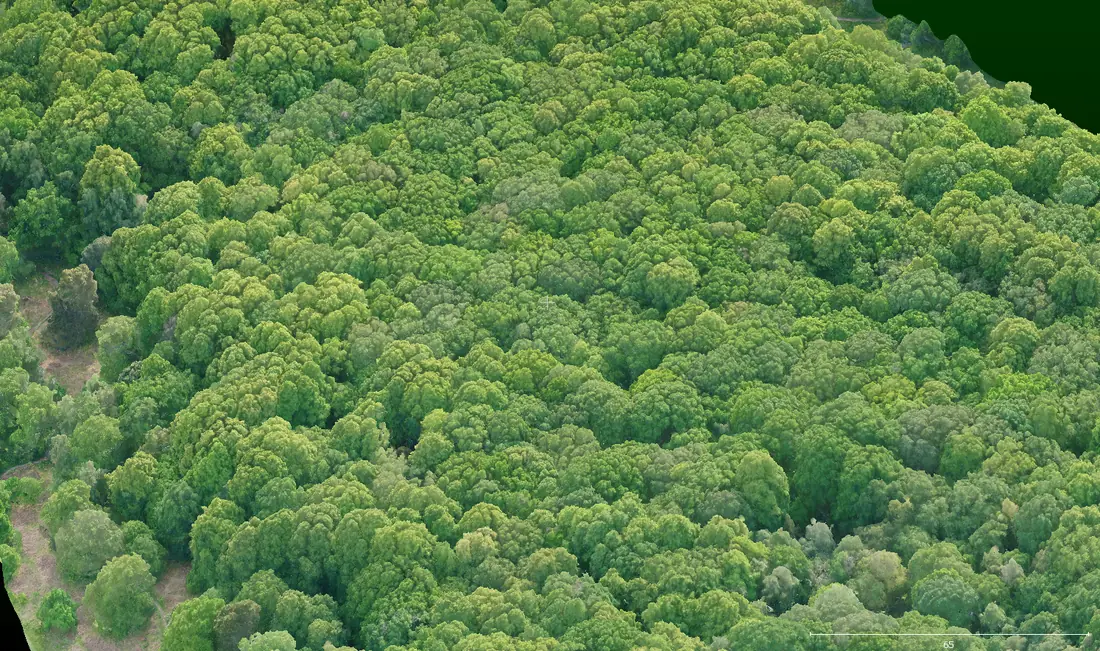
Gaining this knowledge has helped me better target my digital forest mensuration work with Landscan UK, and how I can help further. During a discussion on a research plot, Andy proposed a theory regarding why irregular silviculture plots demonstrate higher biodiversity in the upper canopy. Whether perhaps it could be involved with the complexity in the upper topography of the canopy surface. This just so happens to be a perfect application for the use of drone 3D modelling – a capture of the upper surface to accuracies less than 1 inch – with the data retained forever, helping to achieve an exact comparison over time, as the forest evolves.
Overall, the ideas presented during the course are a successful blend of natural principles coupled with a recognisably engineering mindset. I’m grateful to have been exposed to them.
Deep thanks go to Woodland Heritage for supporting attendance to this course, to Andy and David for the information and to my fellow attendees for a collaborative, productive environment.
Written by Jamie Brookes for Woodland Heritage. If you would like to discuss survey work on your own ground, get in touch.